
犀牛 topographic map
Interactive map
Click on the map to display elevation.
About this map
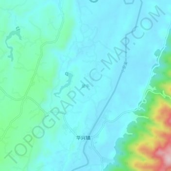
Name: 犀牛 topographic map, elevation, terrain.
Location: 犀牛, 铜梁区, 重庆市主城新区, 重庆市, 中国 (29.59176 106.04997 29.63176 106.08997)
Average elevation: 1,043 ft
Minimum elevation: 866 ft
Maximum elevation: 1,962 ft
Other topographic maps
Click on a map to view its topography, its elevation and its terrain.