
Kathekhola topographic map
Interactive map
Click on the map to display elevation.
About this map
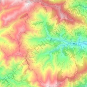
Name: Kathekhola topographic map, elevation, terrain.
Location: Kathekhola, Baglung, Gandaki Pradesh, Nepal (28.20266 83.46451 28.32369 83.56397)
Average elevation: 6,040 ft
Minimum elevation: 3,150 ft
Maximum elevation: 9,167 ft
Other topographic maps
Click on a map to view its topography, its elevation and its terrain.