
Bryne topographic map
Interactive map
Click on the map to display elevation.
About this map
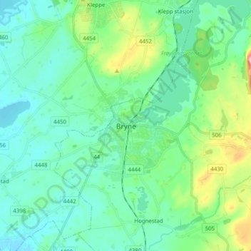
Name: Bryne topographic map, elevation, terrain.
Location: Bryne, Time, Rogaland, 4340, Norway (58.69553 5.60782 58.77553 5.68782)
Average elevation: 125 ft
Minimum elevation: 3 ft
Maximum elevation: 571 ft
Other topographic maps
Click on a map to view its topography, its elevation and its terrain.