
Fishtail Lake topographic map
Click on the map to display elevation.
About this map
Name: Fishtail Lake topographic map, elevation, terrain.
Average elevation: 3,789 ft
Minimum elevation: 2,172 ft
Maximum elevation: 5,417 ft
Other topographic maps
Click on a map to view its topography, its elevation and its terrain.
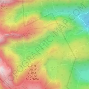
Mount Arrowsmith
Canada > British Columbia > Regional District of Nanaimo > Area C (Arrowsmith-Benson)
Average elevation: 4,203 ft
Extension
Canada > British Columbia > Regional District of Nanaimo > Area C (Arrowsmith-Benson)
Average elevation: 574 ft