
兑镇镇 topographic map
Interactive map
Click on the map to display elevation.
About this map
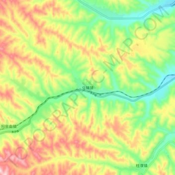
Name: 兑镇镇 topographic map, elevation, terrain.
Location: 兑镇镇, 孝义市, 吕梁市, 山西省, 中国 (37.05308 111.55703 37.13308 111.63703)
Average elevation: 3,232 ft
Minimum elevation: 2,753 ft
Maximum elevation: 3,819 ft
Other topographic maps
Click on a map to view its topography, its elevation and its terrain.