
驿马乡 topographic map
Interactive map
Click on the map to display elevation.
About this map
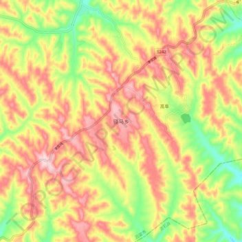
Name: 驿马乡 topographic map, elevation, terrain.
Location: 驿马乡, 孝义市, 吕梁市, 山西省, 中国 (36.96708 111.59968 37.04708 111.67968)
Average elevation: 3,468 ft
Minimum elevation: 2,972 ft
Maximum elevation: 3,888 ft
Other topographic maps
Click on a map to view its topography, its elevation and its terrain.