Geolocate

`Usfan topographic map

Click on the map to display elevation.

About this map

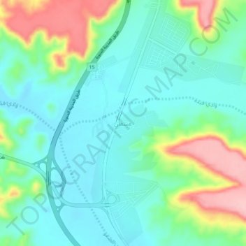
Name: `Usfan topographic map, elevation, terrain.

Location: `Usfan, Al Jumum, Makkah Region, Saudi Arabia (21.90245 39.33357 21.94245 39.37357)

Average elevation: 400 ft

Minimum elevation: 243 ft

Maximum elevation: 787 ft

Other topographic maps

Click on a map to view its topography, its elevation and its terrain.

Al Qunfudhah

Saudi Arabia > Makkah Region

Average elevation: 633 ft

Al Ardiyat

Saudi Arabia > Makkah Region

Average elevation: 2,631 ft

Bahrah

Saudi Arabia > Makkah Region

Average elevation: 1,181 ft

ROSHN Waterfront

Saudi Arabia > Makkah Region > Jeddah

Average elevation: 13 ft

Gear up for your next adventure:

🪶Camping Sleeping Pad - Comfortable sleeping pad for backpacking
🧷Carabiner Set - Durable clips for gear attachment
🧴Hand Sanitizer - Keep hands clean while hiking
🥩Freeze-Dried Meals - Nutritious and lightweight food for remote expeditions
🧤Hiking Gloves - Protective gloves for rugged trails

As an Amazon Associate, this site earns from qualifying purchases at no extra cost to you.