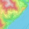
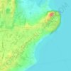
Tignale topographic map
Click on the map to display elevation.
Tignale
It is formed by a series of villages located from up to 1600 m of altitude to the shores of the lake (none of them is called Tignale). The communal seat is at Gardola. Sights include the sanctuary of Montecastello, on a cliff commanding the Lake Garda, and remains of World War I fortifications.
About this map
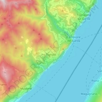
Name: Tignale topographic map, elevation, terrain.
Average elevation: 1,673 ft
Minimum elevation: 184 ft
Maximum elevation: 5,269 ft
Other topographic maps
Click on a map to view its topography, its elevation and its terrain.