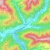
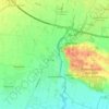
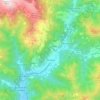
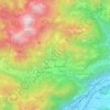
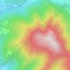
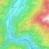
Breno topographic map
Click on the map to display elevation.
Breno
Lago della Vacca is a lake in the Province of Brescia, Lombardy, Italy. At an elevation of 2358 m, its surface area is 0.256 km².
About this map
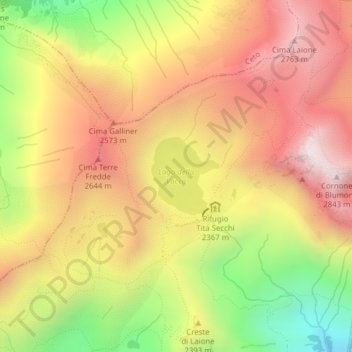
Name: Breno topographic map, elevation, terrain.
Average elevation: 7,762 ft
Minimum elevation: 5,886 ft
Maximum elevation: 9,222 ft
Other topographic maps
Click on a map to view its topography, its elevation and its terrain.
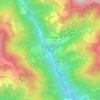
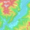
Tignale
It is formed by a series of villages located from up to 1600 m of altitude to the shores of the lake (none of them is called Tignale). The communal seat is at Gardola. Sights include the sanctuary of Montecastello, on a cliff commanding the Lake Garda, and remains of World War I fortifications.
Average elevation: 1,673 ft





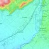
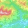
Lake Garda
The particularly mild climate favours the growth of some hardy Mediterranean plants, including the olive tree, parasol pine, mediterranean cypress, chinese windmill palm and Canary Island Date Palm. Some hardy citrus trees, such as hardy lemons and satsuma can also be found, which are extremely rare at this…
Average elevation: 1,880 ft









Gavardo
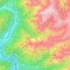
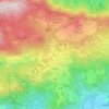
Gavardo, located in the lower Valle Sabbia northeast of Brescia, is the most populous town in the area. Characterized by a hilly landscape surrounded by mountains and crossed by the Chiese and Naviglio Grande Bresciano rivers. Elevation is approximately 199 m a.s.l., with the lowest point at 188 m and the…
Average elevation: 1,266 ft