
凤来 topographic map
Interactive map
Click on the map to display elevation.
About this map
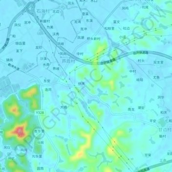
Name: 凤来 topographic map, elevation, terrain.
Location: 凤来, 台山市, 江门市, 广东省, 中国 (22.33010 112.72003 22.37010 112.76003)
Average elevation: 46 ft
Minimum elevation: -7 ft
Maximum elevation: 377 ft
Other topographic maps
Click on a map to view its topography, its elevation and its terrain.