
铁江 topographic map
Interactive map
Click on the map to display elevation.
About this map
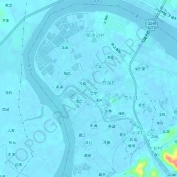
Name: 铁江 topographic map, elevation, terrain.
Location: 铁江, 台山市, 江门市, 广东省, 中国 (22.40511 112.74166 22.44511 112.78166)
Average elevation: 13 ft
Minimum elevation: -16 ft
Maximum elevation: 269 ft
Other topographic maps
Click on a map to view its topography, its elevation and its terrain.