
南安 topographic map
Interactive map
Click on the map to display elevation.
About this map
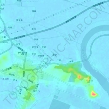
Name: 南安 topographic map, elevation, terrain.
Location: 南安, 台山市, 江门市, 广东省, 中国 (21.95069 112.78492 21.99069 112.82492)
Average elevation: 13 ft
Minimum elevation: -10 ft
Maximum elevation: 226 ft
Other topographic maps
Click on a map to view its topography, its elevation and its terrain.