Deiningen topographic map
Interactive map
Click on the map to display elevation.
About this map
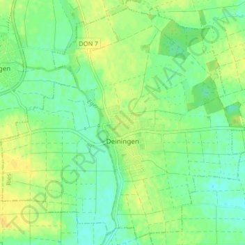
Name: Deiningen topographic map, elevation, terrain.
Location: Deiningen, Ries, Landkreis Donau-Ries, Bavaria, 86738, Germany (48.84473 10.53665 48.88690 10.60454)
Average elevation: 1,375 ft
Minimum elevation: 1,342 ft
Maximum elevation: 1,411 ft
Other topographic maps
Click on a map to view its topography, its elevation and its terrain.
Rain
Germany > Bavaria > Landkreis Donau-Ries
Rain, Rain (Schwaben), Landkreis Donau-Ries, Bavaria, 86641, Germany
Average elevation: 1,358 ft
Nördlingen
Germany > Bavaria > Landkreis Donau-Ries
Nördlingen, Landkreis Donau-Ries, Bavaria, Germany
Average elevation: 1,486 ft