
Rodney Square topographic map
Click on the map to display elevation.
About this map
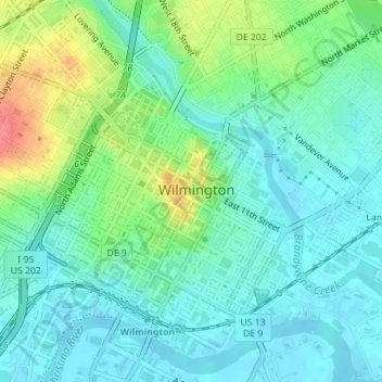
Name: Rodney Square topographic map, elevation, terrain.
Average elevation: 66 ft
Minimum elevation: 0 ft
Maximum elevation: 236 ft
New Castle County trails, hiking, mountain biking, running and outdoor activities
Other topographic maps
Click on a map to view its topography, its elevation and its terrain.
Wilmington
United States > Delaware > New Castle County > Wilmington
On the western side of Market Street, the Piedmont topography is rocky and hilly, rising to a point that marks the watershed between the Brandywine River and the Christina River. This watershed line runs along Delaware Avenue westward from 10th Street and Market Street.
Average elevation: 141 ft