Geolocate

Bhimtal topographic map

Click on the map to display elevation.

About this map

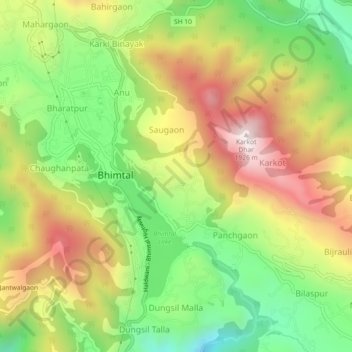
Name: Bhimtal topographic map, elevation, terrain.

Location: Bhimtal, Nainital, Uttarakhand, 263136, India (29.33050 79.54213 29.37050 79.58213)

Average elevation: 4,783 ft

Minimum elevation: 3,510 ft

Maximum elevation: 6,270 ft

Other topographic maps

Click on a map to view its topography, its elevation and its terrain.

Sariyatal

India > Uttarakhand > Nainital > Char Khet > Sariya

Average elevation: 6,161 ft

Gear up for your next adventure:

🌡️Portable Weather Meter - Track weather conditions on the trail
🥩Freeze-Dried Meals - Nutritious and lightweight food for remote expeditions
❄️Traction Cleats - Prevent slips on icy trails during winter hikes
🪑Ultralight Camp Chairs - Portable seating for resting after a long day of mapping
🪶Trail Camera - Capture wildlife on your hikes

As an Amazon Associate, this site earns from qualifying purchases at no extra cost to you.