
Make a donation
Gear up for your next adventure:
As an Amazon Associate, this site earns from qualifying purchases at no extra cost to you.
Ogema topographic map
Click on the map to display elevation.
Make a donation
Gear up for your next adventure:
As an Amazon Associate, this site earns from qualifying purchases at no extra cost to you.
About this map
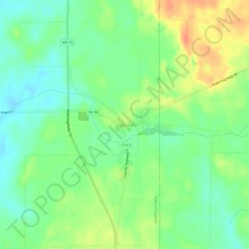
Name: Ogema topographic map, elevation, terrain.
Location: Ogema, Town of Ogema, Price County, Wisconsin, United States (45.42358 -90.31820 45.46358 -90.27820)
Average elevation: 1,565 ft
Minimum elevation: 1,506 ft
Maximum elevation: 1,647 ft
Price County trails, hiking, mountain biking, running and outdoor activities
Make a donation
Gear up for your next adventure:
As an Amazon Associate, this site earns from qualifying purchases at no extra cost to you.
Other topographic maps
Click on a map to view its topography, its elevation and its terrain.
Smith Lake County Park
United States > Wisconsin > Price County > Park Falls
Average elevation: 1,480 ft
Make a donation
Gear up for your next adventure:
As an Amazon Associate, this site earns from qualifying purchases at no extra cost to you.