Geolocate

Buna topographic map

Click on the map to display elevation.

About this map

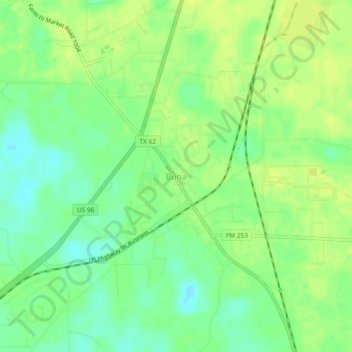
Name: Buna topographic map, elevation, terrain.

Location: Buna, Jasper County, Texas, 77612, United States (30.41690 -93.98457 30.45690 -93.94457)

Average elevation: 79 ft

Minimum elevation: 43 ft

Maximum elevation: 102 ft

Jasper County trails, hiking, mountain biking, running and outdoor activities

Other topographic maps

Click on a map to view its topography, its elevation and its terrain.

Jasper

United States > Texas > Jasper County

Average elevation: 253 ft

Kirbyville

United States > Texas > Jasper County

Average elevation: 108 ft

Blue Hole

United States > Texas > Jasper County

Average elevation: 135 ft

Gear up for your next adventure:

🔥Fast-Boil Camping Stoves - Efficient cooking systems for quick trail meals
🌎3D Topographic Globes - Raised relief globes for a tactile understanding of geography
🔦LED Headlamp - Bright and durable LED headlamp for night navigation
🚪Portable Camp Chair - Foldable chair for comfort at camp
🥾Men's Hiking Boots - Durable, waterproof footwear for rugged terrain and steep inclines

As an Amazon Associate, this site earns from qualifying purchases at no extra cost to you.