
Detroit Harbor topographic map
Click on the map to display elevation.
About this map
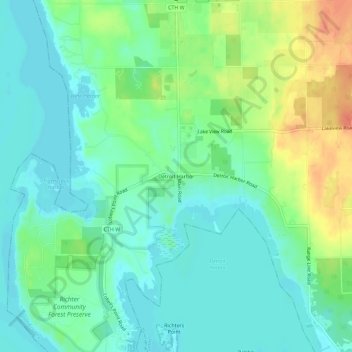
Name: Detroit Harbor topographic map, elevation, terrain.
Average elevation: 607 ft
Minimum elevation: 558 ft
Maximum elevation: 712 ft
Door County trails, hiking, mountain biking, running and outdoor activities
Other topographic maps
Click on a map to view its topography, its elevation and its terrain.
Whitefish Dunes State Park
United States > Wisconsin > Door County > Sturgeon Bay
Average elevation: 594 ft
Rock Island
United States > Wisconsin > Door County
Rock Island is a mostly wooded island off the tip of Wisconsin's Door Peninsula at the mouth of Green Bay, in Door County, Wisconsin. The 974.87-acre (394.5 ha) island is approximately 1.6 miles (2.6 km) long and 1.1 miles (1.8 km) wide. It rises to 65 meters above Lake Michigan, making it the highest in…
Average elevation: 617 ft
Bailey's Harbor Boreal Forest And Wetlands State Natural Area
United States > Wisconsin > Door County
Average elevation: 594 ft
Potawatomi State Park
United States > Wisconsin > Door County > Sturgeon Bay
Average elevation: 640 ft