Geolocate

Harris topographic map

Click on the map to display elevation.

About this map

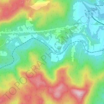
Name: Harris topographic map, elevation, terrain.

Location: Harris, Benton County, Oregon, United States (44.55818 -123.48010 44.59818 -123.44010)

Average elevation: 843 ft

Minimum elevation: 407 ft

Maximum elevation: 1,526 ft

Benton County trails, hiking, mountain biking, running and outdoor activities

Other topographic maps

Click on a map to view its topography, its elevation and its terrain.

Monroe

United States > Oregon > Benton County

Average elevation: 325 ft

Gear up for your next adventure:

🪶Camping Sleeping Pad - Comfortable sleeping pad for backpacking
🧺Microfiber Travel Towels - Compact and fast-drying towels for trail use
🍳Camping Cook Set - Complete cookware for outdoor meals
Solar GPS Watches - Advanced multisport watches with built-in topographic maps
💧Water Filtration Bottles - Safely drink from streams and lakes while exploring

As an Amazon Associate, this site earns from qualifying purchases at no extra cost to you.