Geolocate

Wildorado topographic map

Click on the map to display elevation.

About this map

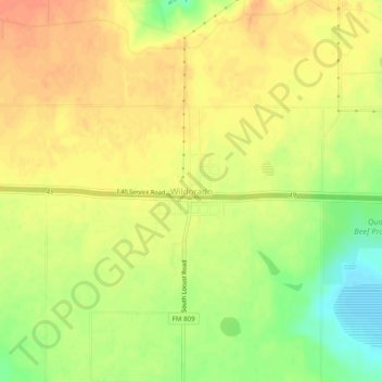
Name: Wildorado topographic map, elevation, terrain.

Location: Wildorado, Oldham County, Texas, United States (35.18974 -102.22169 35.22974 -102.18169)

Average elevation: 3,927 ft

Minimum elevation: 3,842 ft

Maximum elevation: 3,976 ft

Oldham County trails, hiking, mountain biking, running and outdoor activities

Other topographic maps

Click on a map to view its topography, its elevation and its terrain.

Vega

United States > Texas > Oldham County

Average elevation: 4,035 ft

Vega

United States > Texas > Oldham County

Average elevation: 4,035 ft

Gear up for your next adventure:

🎒Waterproof Dry Bags - Keep your electronics and maps dry inside your pack
🧣Hiking Neck Gaiter - Multi‑use neck protection for outdoor weather
🪵Folding Camp Saw - Compact saw for wood and campsite work
🌧️Backpack Rain Cover - Keep gear dry in wet weather
🌎3D Topographic Globes - Raised relief globes for a tactile understanding of geography

As an Amazon Associate, this site earns from qualifying purchases at no extra cost to you.