Geolocate

Ostrander topographic map

Click on the map to display elevation.

About this map

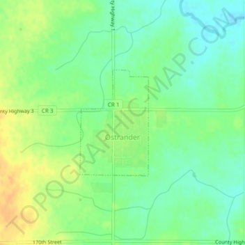
Name: Ostrander topographic map, elevation, terrain.

Location: Ostrander, Fillmore County, Minnesota, United States (43.60928 -92.43443 43.62099 -92.42398)

Average elevation: 1,335 ft

Minimum elevation: 1,289 ft

Maximum elevation: 1,394 ft

Fillmore County trails, hiking, mountain biking, running and outdoor activities

Other topographic maps

Click on a map to view its topography, its elevation and its terrain.

Chatfield

United States > Minnesota > Fillmore County

Average elevation: 1,073 ft

Highland

United States > Minnesota > Fillmore County

Average elevation: 1,152 ft

Gear up for your next adventure:

🧯Portable Fire Pit - Compact fire pit for camping spots
🥄Camping Utensil Set - Lightweight utensils for outdoor meals
🔭Telescopic Hiking Pole - Adjustable pole for hiking stability
🧭Outdoor Navigation Book - Learn advanced navigation skills
📦Dry Bags Set - Waterproof storage for electronics and clothes

As an Amazon Associate, this site earns from qualifying purchases at no extra cost to you.