
Inverarity topographic map
Click on the map to display elevation.
About this map
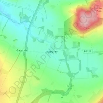
Name: Inverarity topographic map, elevation, terrain.
Location: Inverarity, Angus, Scotland, DD8 2JN, United Kingdom (56.56617 -2.91483 56.60617 -2.87483)
Average elevation: 413 ft
Minimum elevation: 223 ft
Maximum elevation: 843 ft
Other topographic maps
Click on a map to view its topography, its elevation and its terrain.