Geolocate

Summit topographic map

Click on the map to display elevation.

About this map

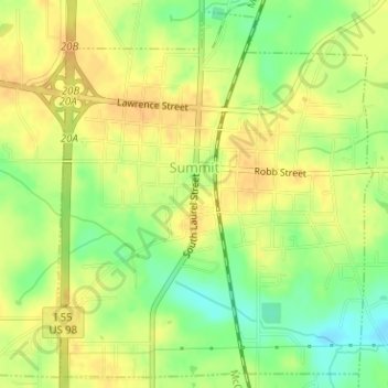
Name: Summit topographic map, elevation, terrain.

Location: Summit, Pike County, Mississippi, United States (31.26915 -90.47955 31.29464 -90.45386)

Average elevation: 433 ft

Minimum elevation: 367 ft

Maximum elevation: 469 ft

Pike County trails, hiking, mountain biking, running and outdoor activities

Other topographic maps

Click on a map to view its topography, its elevation and its terrain.

Topisaw

United States > Mississippi > Pike County

Average elevation: 371 ft

Chatawa

United States > Mississippi > Pike County

Average elevation: 308 ft

McComb

United States > Mississippi > Pike County > McComb > McComb

Average elevation: 413 ft

Gear up for your next adventure:

🧤Tactile Hiking Gloves - Keep hands warm while operating GPS and smartphone screens
🥩Freeze-Dried Meals - Nutritious and lightweight food for remote expeditions
🪑Portable Camp Table - Compact table for campsite meals
🧷Carabiner Set - Durable clips for gear attachment
🪶LED Camping Lantern - Bright lantern for camp lighting

As an Amazon Associate, this site earns from qualifying purchases at no extra cost to you.