Geolocate

Radisson topographic map

Click on the map to display elevation.

About this map

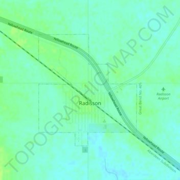
Name: Radisson topographic map, elevation, terrain.

Location: Radisson, Division No. 16, Saskatchewan, S0K 3L0, Canada (52.45460 -107.40772 52.47132 -107.38356)

Average elevation: 1,716 ft

Minimum elevation: 1,699 ft

Maximum elevation: 1,736 ft

Other topographic maps

Click on a map to view its topography, its elevation and its terrain.

Gear up for your next adventure:

🧭Map Reading Tools - Tools and kits for map navigation
📱Heavy-Duty Phone Cases - Drop-proof and waterproof protection for outdoor navigation
Backpacking Tents - Weight-optimized shelters for multi-day topographic surveys
📚Navigation Handbooks - Master the art of reading topographic maps and using a compass
🛰️Handheld GPS Units - Professional satellite navigators for precise backcountry mapping

As an Amazon Associate, this site earns from qualifying purchases at no extra cost to you.