Geolocate

Radisson topographic map

Click on the map to display elevation.

About this map
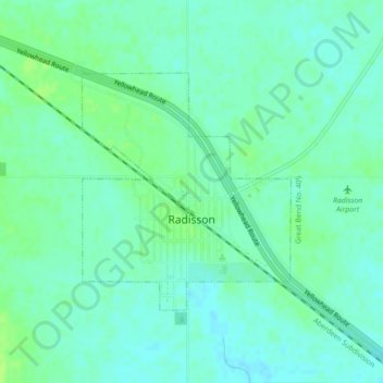
Name: Radisson topographic map, elevation, terrain.

Location: Radisson, Division No. 16, Saskatchewan, S0K 3L0, Canada (52.45460 -107.40772 52.47132 -107.38356)

Average elevation: 1,716 ft

Minimum elevation: 1,699 ft

Maximum elevation: 1,736 ft

Other topographic maps

Click on a map to view its topography, its elevation and its terrain.

Gear up for your next adventure:

🔋Solar Power Banks - Keep your GPS and phone charged in remote wilderness areas
🔭Stargazing Telescopes - Perfect for camping in low-light pollution areas shown on maps
📦Dry Bags Set - Waterproof storage for electronics and clothes
🪑Ultralight Camp Chairs - Portable seating for resting after a long day of mapping
🧷Carabiner Set - Durable clips for gear attachment

As an Amazon Associate, this site earns from qualifying purchases at no extra cost to you.