
Likas topographic map
Click on the map to display elevation.
About this map
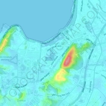
Name: Likas topographic map, elevation, terrain.
Location: Likas, Kota Kinabalu District, Sabah, 89400, Malaysia (5.96765 116.08240 6.00765 116.12240)
Average elevation: 33 ft
Minimum elevation: -7 ft
Maximum elevation: 351 ft
Other topographic maps
Click on a map to view its topography, its elevation and its terrain.
Banggi Island
Banggi Island (Malay: Pulau Banggi) is located within the Kudat Division of Sabah in Malaysia. With an area of 440.7 square kilometres, it is the largest island in Malaysia followed by Bruit Island, Langkawi Island and Penang Island. It is located off the northern coast of Sabah near Marudu Bay. The highest…
Average elevation: 69 ft
Tinompok
The park headquarters is 88 kilometres away from the city of Kota Kinabalu. There are sealed roads leading towards the park headquarters from other parts of Sabah. It is situated on the southern boundary of Kinabalu Park, at an elevation of 1,563 m (5,128 ft).
Average elevation: 6,768 ft