Make a donation
Gear up for your next adventure:
As an Amazon Associate, this site earns from qualifying purchases at no extra cost to you.
Anjara topographic map
Click on the map to display elevation.
Make a donation
Gear up for your next adventure:
As an Amazon Associate, this site earns from qualifying purchases at no extra cost to you.
Anjara
Situated at an elevation of 905 meters above sea level, Anjara is distinguished by its lush green landscapes and abundance of fruit-bearing trees. The town is surrounded by forests and woodland areas, and it is considered one of the most productive regions for olive cultivation.
Make a donation
Gear up for your next adventure:
As an Amazon Associate, this site earns from qualifying purchases at no extra cost to you.
About this map
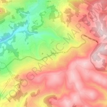
Name: Anjara topographic map, elevation, terrain.
Average elevation: 3,153 ft
Minimum elevation: 2,031 ft
Maximum elevation: 3,924 ft
Make a donation
Gear up for your next adventure:
As an Amazon Associate, this site earns from qualifying purchases at no extra cost to you.
Other topographic maps
Click on a map to view its topography, its elevation and its terrain.
Make a donation
Gear up for your next adventure:
As an Amazon Associate, this site earns from qualifying purchases at no extra cost to you.
