
Make a donation
Gear up for your next adventure:
As an Amazon Associate, this site earns from qualifying purchases at no extra cost to you.
Härkingen topographic map
Click on the map to display elevation.
Make a donation
Gear up for your next adventure:
As an Amazon Associate, this site earns from qualifying purchases at no extra cost to you.
About this map
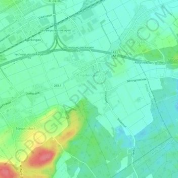
Name: Härkingen topographic map, elevation, terrain.
Location: Härkingen, Bezirk Gäu, Amtei Thal-Gäu, Solothurn, Schweiz (47.28616 7.80106 47.32208 7.84057)
Average elevation: 1,437 ft
Minimum elevation: 1,368 ft
Maximum elevation: 1,624 ft
Make a donation
Gear up for your next adventure:
As an Amazon Associate, this site earns from qualifying purchases at no extra cost to you.
Other topographic maps
Click on a map to view its topography, its elevation and its terrain.
Passwang
Schweiz > Solothurn > Amtei Thal-Gäu > Mümliswil-Ramiswil
Der Passwang, früher auch Barschwang (solothurnerdeutsch Ba(r)schwang [baʳʃˈvaŋ], [baʃˈvaŋ]), ist ein Bergkamm auf dem Gemeindegebiet von Mümliswil-Ramiswil im Solothurner Jura, Schweiz. Hauptgipfel des Bergkamms ist der Vogelberg 1204 m ü. M. Anteil am Massiv des Passwang haben auch die…
Average elevation: 2,831 ft