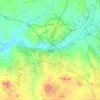
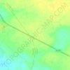
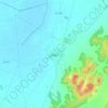
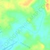
La Roda topographic map
Click on the map to display elevation.
La Roda
The extensive municipal area features a flat terrain characteristic of the La Mancha Alta Albaceteña region. It is situated 716 meters (2349 feet) above sea level, with the southwestern edge of the municipality reaching higher elevations (over 850 meters, 2788 feet) near the Campo de Montiel.
About this map

Name: La Roda topographic map, elevation, terrain.
Location: La Roda, Albacete, Castile-La Mancha, 02630, Spain (39.05713 -2.38176 39.28107 -2.00585)
Average elevation: 2,375 ft
Minimum elevation: 2,126 ft
Maximum elevation: 3,143 ft
Other topographic maps
Click on a map to view its topography, its elevation and its terrain.