
Pine Creek Ranch topographic map
Click on the map to display elevation.
About this map
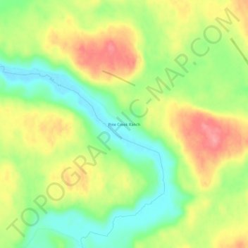
Name: Pine Creek Ranch topographic map, elevation, terrain.
Location: Pine Creek Ranch, Sheridan County, Nebraska, United States (42.45609 -102.42707 42.49609 -102.38707)
Average elevation: 3,845 ft
Minimum elevation: 3,694 ft
Maximum elevation: 4,012 ft
Sheridan County trails, hiking, mountain biking, running and outdoor activities
Other topographic maps
Click on a map to view its topography, its elevation and its terrain.