
Mount Albert topographic map
Click on the map to display elevation.
About this map
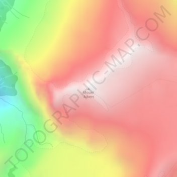
Name: Mount Albert topographic map, elevation, terrain.
Average elevation: 6,355 ft
Minimum elevation: 2,907 ft
Maximum elevation: 8,274 ft
Other topographic maps
Click on a map to view its topography, its elevation and its terrain.
Nelson Island
Canada > British Columbia > Sunshine Coast Regional District > Area A (Egmont/Pender Harbour)
Average elevation: 289 ft
Sakinaw Lake
Canada > British Columbia > Sunshine Coast Regional District > Area A (Egmont/Pender Harbour)
Average elevation: 377 ft
Princess Louisa Marine Provincial Park
Canada > British Columbia > Sunshine Coast Regional District > Area A (Egmont/Pender Harbour)
Average elevation: 2,418 ft
Macdonald Island
Canada > British Columbia > Sunshine Coast Regional District > Area A (Egmont/Pender Harbour)
Average elevation: 755 ft
Kelly Island
Canada > British Columbia > Sunshine Coast Regional District > Area A (Egmont/Pender Harbour)
Average elevation: 46 ft
Ruby Lake
Canada > British Columbia > Sunshine Coast Regional District > Area A (Egmont/Pender Harbour)
Average elevation: 344 ft
Nelson Island
Canada > British Columbia > Sunshine Coast Regional District > Area A (Egmont/Pender Harbour)
Average elevation: 289 ft