
Chiniot topographic map
Click on the map to display elevation.
Chiniot
Chiniot is at the intersection of the Faisalabad-Sargodha and Lahore-Jhang roads. It is 158 km (98 mi) northwest of Lahore and 38 km (24 mi) north of Faisalabad. Chiniot city is spread over an area of 10 km2 (3.9 sq mi) with an average elevation of 179 metres (587 ft).
About this map
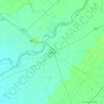
Name: Chiniot topographic map, elevation, terrain.
Average elevation: 600 ft
Minimum elevation: 568 ft
Maximum elevation: 823 ft
Other topographic maps
Click on a map to view its topography, its elevation and its terrain.
Gujujranwala City Tehsil
Gujranwala sits at the heart of the Rechna Doab, a strip of land between the Chenab in the north, and Ravi River in the south. Gujranwala is also part of the Majha, a historical region of northern Punjab. The city was built upon the plains of Punjab, and the surrounding region is an unbroken plain devoid of…
Average elevation: 738 ft