
Citrusdal topographic map
Click on the map to display elevation.
About this map
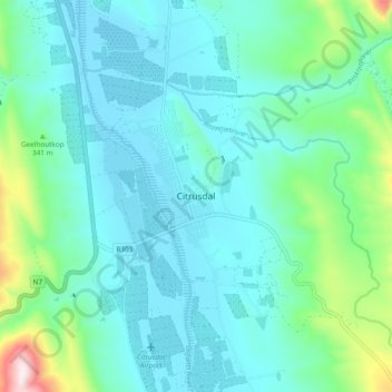
Name: Citrusdal topographic map, elevation, terrain.
Average elevation: 840 ft
Minimum elevation: 495 ft
Maximum elevation: 2,467 ft
Other topographic maps
Click on a map to view its topography, its elevation and its terrain.
Bulshoek Dam
South Africa > Western Cape > West Coast District Municipality > Cederberg Local Municipality
Average elevation: 604 ft
Cederberg Ward 1
South Africa > Western Cape > West Coast District Municipality > Cederberg Local Municipality
Average elevation: 2,264 ft
Clanwilliam Dam
South Africa > Western Cape > West Coast District Municipality > Cederberg Local Municipality > Clanwilliam
Average elevation: 948 ft
Krom
South Africa > Western Cape > West Coast District Municipality > Cederberg Local Municipality
Average elevation: 2,854 ft