
马连洼 topographic map
Interactive map
Click on the map to display elevation.
About this map
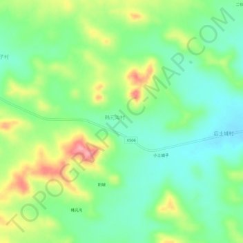
Name: 马连洼 topographic map, elevation, terrain.
Location: 马连洼, 商都县, 乌兰察布市, 内蒙古自治区, 中国 (41.75952 113.25263 41.79952 113.29263)
Average elevation: 5,302 ft
Minimum elevation: 5,164 ft
Maximum elevation: 5,545 ft
Other topographic maps
Click on a map to view its topography, its elevation and its terrain.