
郭家 topographic map
Interactive map
Click on the map to display elevation.
About this map
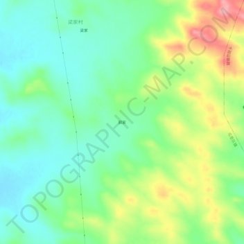
Name: 郭家 topographic map, elevation, terrain.
Location: 郭家, 商都县, 乌兰察布市, 内蒙古自治区, 中国 (41.77615 113.54000 41.81615 113.58000)
Average elevation: 5,115 ft
Minimum elevation: 4,974 ft
Maximum elevation: 5,381 ft
Other topographic maps
Click on a map to view its topography, its elevation and its terrain.