
拉康镇 topographic map
Interactive map
Click on the map to display elevation.
About this map
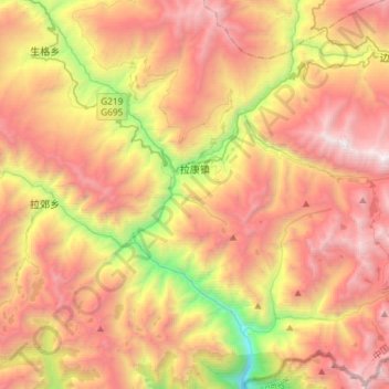
Name: 拉康镇 topographic map, elevation, terrain.
Location: 拉康镇, 洛扎县, 山南市, 西藏自治区, 中国 (27.97083 91.01907 28.22157 91.31203)
Average elevation: 13,294 ft
Minimum elevation: 7,539 ft
Maximum elevation: 18,353 ft
Other topographic maps
Click on a map to view its topography, its elevation and its terrain.