Geolocate

Mull River topographic map

Click on the map to display elevation.

About this map
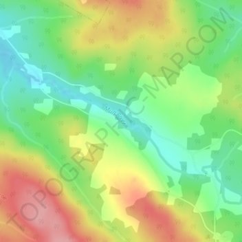
Name: Mull River topographic map, elevation, terrain.

Location: Mull River, Glencoe, Municipality of the County of Inverness, Inverness County, Nova Scotia, Canada (45.96867 -61.34793 45.98135 -61.31579)

Average elevation: 423 ft

Minimum elevation: 240 ft

Maximum elevation: 650 ft

Other topographic maps

Click on a map to view its topography, its elevation and its terrain.

Gear up for your next adventure:

🌎3D Topographic Globes - Raised relief globes for a tactile understanding of geography
🦟Ultrasonic Repellers - Create a bug-free zone at your camp or rest stop
🧣Merino Neck Gaiters - Multi-functional headwear for wind and sun protection
⌚GPS Sports Watch - GPS watch for running, hiking and training
🚁Photography Drones - Capture stunning aerial views of landforms and topography

As an Amazon Associate, this site earns from qualifying purchases at no extra cost to you.