
Make a donation
Gear up for your next adventure:
As an Amazon Associate, this site earns from qualifying purchases at no extra cost to you.
Summitville topographic map
Click on the map to display elevation.
Make a donation
Gear up for your next adventure:
As an Amazon Associate, this site earns from qualifying purchases at no extra cost to you.
Summitville
Summitville was laid out in 1867. It was named for its relatively lofty elevation.
Make a donation
Gear up for your next adventure:
As an Amazon Associate, this site earns from qualifying purchases at no extra cost to you.
About this map
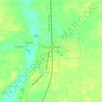
Name: Summitville topographic map, elevation, terrain.
Location: Summitville, Madison County, Indiana, United States (40.33173 -85.65044 40.34338 -85.63424)
Average elevation: 889 ft
Minimum elevation: 853 ft
Maximum elevation: 909 ft
Madison County trails, hiking, mountain biking, running and outdoor activities
Make a donation
Gear up for your next adventure:
As an Amazon Associate, this site earns from qualifying purchases at no extra cost to you.
Other topographic maps
Click on a map to view its topography, its elevation and its terrain.