
Caruso topographic map
Click on the map to display elevation.
About this map
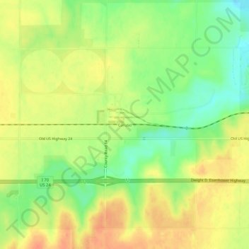
Name: Caruso topographic map, elevation, terrain.
Average elevation: 3,724 ft
Minimum elevation: 3,642 ft
Maximum elevation: 3,786 ft
Sherman County trails, hiking, mountain biking, running and outdoor activities
Other topographic maps
Click on a map to view its topography, its elevation and its terrain.
Kanorado
United States > Kansas > Sherman County
On February 10, 2016 the House of Representatives of the State of Kansas passed a Resolution (Res.#6033) designating the City of Kanorado as the Top City of Kansas. This is due to it being the highest city elevation in the State of Kansas at 3,907 feet.
Average elevation: 3,907 ft
Goodland
United States > Kansas > Sherman County
Goodland is located at 39°21′3″N 101°42′37″W / 39.35083°N 101.71028°W / 39.35083; -101.71028 (39.3508330, −101.7101722) at an elevation of 3,681 feet (1,122 m). It lies on the south side of the Middle Fork of Sappa Creek, part of the Republican River watershed, in the High Plains region…
Average elevation: 3,675 ft