
Thank you for supporting this site ❤️
Make a donation
Make a donation
Gear up for your next adventure:
As an Amazon Associate, this site earns from qualifying purchases at no extra cost to you.
Dreamland topographic map
Click on the map to display elevation.
Thank you for supporting this site ❤️
Make a donation
Make a donation
Gear up for your next adventure:
As an Amazon Associate, this site earns from qualifying purchases at no extra cost to you.
About this map
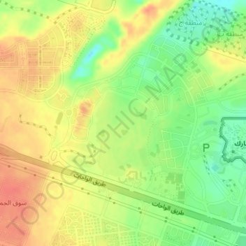
Name: Dreamland topographic map, elevation, terrain.
Location: Dreamland, Ash Sheikh Zayed, Giza, 12578, Egypt (29.95922 31.03404 29.97922 31.05404)
Average elevation: 427 ft
Minimum elevation: 338 ft
Maximum elevation: 495 ft
Thank you for supporting this site ❤️
Make a donation
Make a donation
Gear up for your next adventure:
As an Amazon Associate, this site earns from qualifying purchases at no extra cost to you.