
Baling topographic map
Click on the map to display elevation.
About this map
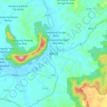
Name: Baling topographic map, elevation, terrain.
Location: Baling, Kedah, 09100, Malaysia (5.63293 100.87820 5.71293 100.95820)
Average elevation: 436 ft
Minimum elevation: 135 ft
Maximum elevation: 1,949 ft
Other topographic maps
Click on a map to view its topography, its elevation and its terrain.