
Logone لوقون topographic map
Interactive map
Click on the map to display elevation.
About this map
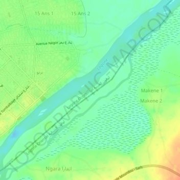
Name: Logone لوقون topographic map, elevation, terrain.
Location: Logone لوقون, Logone Oriental, Tchad (8.54474 16.07481 8.58373 16.11648)
Average elevation: 1,306 ft
Minimum elevation: 1,253 ft
Maximum elevation: 1,381 ft
Other topographic maps
Click on a map to view its topography, its elevation and its terrain.
Lybie
Tchad > Logone Oriental > Binguélé
Lybie, Binguélé, Logone Oriental, Tchad
Average elevation: 1,572 ft
Begada 1
Tchad > Logone Oriental > Begada 1
Begada 1, Logone Oriental, Tchad
Average elevation: 1,283 ft