
Pecherskyi district topographic map
Interactive map
Click on the map to display elevation.
About this map
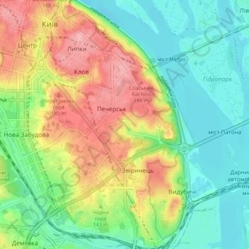
Name: Pecherskyi district topographic map, elevation, terrain.
Location: Pecherskyi district, Kyiv, Ukraine (50.40255 30.51599 50.45504 30.59024)
Average elevation: 440 ft
Minimum elevation: 282 ft
Maximum elevation: 689 ft
Other topographic maps
Click on a map to view its topography, its elevation and its terrain.