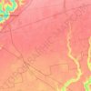
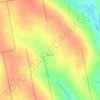
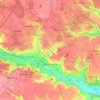
Kyiv topographic map
Click on the map to display elevation.
Kyiv
Originally on the west bank, today Kyiv is on both sides of the Dnieper, which flows southwards through the city towards the Black Sea. The older and higher western part of the city sits on numerous wooded hills (Kyiv Hills), with ravines and small rivers. Kyiv's geographical relief contributed to its toponyms, such as Podil ("lower"), Pechersk ("caves"), and uzviz (a steep street, "descent"). Kyiv is a part of the larger Dnieper Upland adjoining the western bank of the Dnieper in its mid-flow, and which contributes to the city's elevation change.
About this map
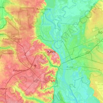
Name: Kyiv topographic map, elevation, terrain.
Location: Kyiv, Ukraine (50.29003 30.36414 50.61003 30.68414)
Average elevation: 430 ft
Minimum elevation: 285 ft
Maximum elevation: 689 ft
Other topographic maps
Click on a map to view its topography, its elevation and its terrain.
Rakhiv
With an elevation of 430 meters above sea level, Rakhiv is Ukraine's highest city.
Average elevation: 2,195 ft
Vorokhta
Ukraine > Ivano-Frankivsk Oblast
Located at an elevation of 800 metres above sea level, it is known for its close ties to the Hutsuls – an ethno-cultural group of Ukrainians who live in the Carpathians, and is often regarded as a Hutsul capital.
Average elevation: 2,822 ft



Parkovoe
Ukraine > Autonomous Republic of Crimea > Yalta city municipality
Parkove is located on Crimea's southern shore at an elevation of 102 metres (335 ft). The settlement is located 8.5 km (5.3 mi) west from Simeiz, which it is administratively subordinate to. Its population was 481 in the 2001 Ukrainian census. Current population: 403 (2014 Census).
Average elevation: 535 ft
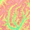
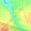
Blahodatne
Its elevation is variously recorded as 215 m and 201 m.
Average elevation: 702 ft
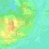
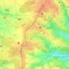

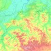


Yampil
The city is located along Horyn River, a tributary of the Pripyat, and is part of the Podolsk Plateau [uk], while straddling the border with Lesser Polissia.[uk] Yampol is located in the more elevated part of Khmelnytskyi Oblast, in the Volyn highlands, where the average elevation is 329 meters above sea level.
Average elevation: 830 ft