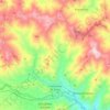
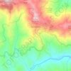
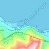
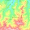
Milici topographic map
Click on the map to display elevation.
About this map

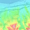
Name: Milici topographic map, elevation, terrain.
Location: Milici, Rodì Milici, Messina, Sicily, 98059, Italy (38.06378 15.14973 38.10378 15.18973)
Average elevation: 971 ft
Minimum elevation: 207 ft
Maximum elevation: 2,684 ft
Other topographic maps
Click on a map to view its topography, its elevation and its terrain.

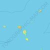
Aeolian Islands
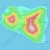
The largest island is Lipari (37.5 km²), followed by Salina (26.8 km²), Vulcano (21.2 km²), Stromboli (12.6 km²), Filicudi (9.5 km²) and Alicudi (5.2 km²). The smallest island with 3.4 km² is Panarea. The highest elevation of the Lipari Islands is Monte Fossa delle Felci on Salina, which reaches a…
Average elevation: 13 ft
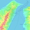
Messina
Located in the north-eastern corner of Sicily, on the western shore of the Strait of Messina (Ionian Sea)— altitude 3 m (9.8 ft) above sea level— it extends for 213.75 km2 (82.53 sq mi) of municipal surface. Its extension on the coast (56 km (35 mi) from the coast of Giampilieri to the south to that of…
Average elevation: 558 ft

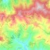
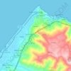
Capo d'Orlando
A large part of the town is mainly located on a narrow plain, enclosed between the sea and a hill range which extends parallel to it. Here, various frazioni are located: San Martino (the most populated), Scafa, Piscittina, Forno Alto, Catutè, Certari e Malvicino, all are located at between 50 and 300m of…
Average elevation: 495 ft






Messina
Located in the north-eastern corner of Sicily, on the western shore of the Strait of Messina (Ionian Sea)— altitude 3 m (9.8 ft) above sea level— it extends for 213.75 km2 (82.53 sq mi) of municipal surface. Its extension on the coast (56 km (35 mi) from the coast of Giampilieri to the south to that of…
Average elevation: 558 ft