
Thank you for supporting this site ❤️
Make a donation
Make a donation
Gear up for your next adventure:
As an Amazon Associate, this site earns from qualifying purchases at no extra cost to you.
Kaptagat topographic map
Click on the map to display elevation.
Thank you for supporting this site ❤️
Make a donation
Make a donation
Gear up for your next adventure:
As an Amazon Associate, this site earns from qualifying purchases at no extra cost to you.
About this map
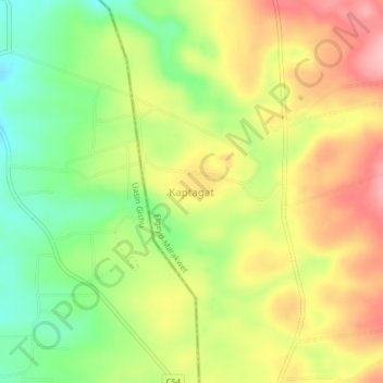
Name: Kaptagat topographic map, elevation, terrain.
Location: Kaptagat, Elgeyo-Marakwet County, Kenya (0.40898 35.46090 0.44898 35.50090)
Average elevation: 7,956 ft
Minimum elevation: 7,733 ft
Maximum elevation: 8,182 ft
Thank you for supporting this site ❤️
Make a donation
Make a donation
Gear up for your next adventure:
As an Amazon Associate, this site earns from qualifying purchases at no extra cost to you.