Geolocate

Zehner topographic map

Click on the map to display elevation.

About this map

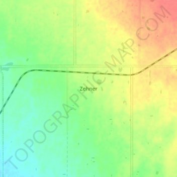
Name: Zehner topographic map, elevation, terrain.

Location: Zehner, Edenwold No. 158, Saskatchewan, Canada (50.54667 -104.47000 50.58667 -104.43000)

Average elevation: 2,113 ft

Minimum elevation: 2,034 ft

Maximum elevation: 2,205 ft

Gear up for your next adventure:

🧭GPS Watch Accessories - Bands and chargers for GPS watches
🛡️Bear Spray Outdoor - Protection in bear country hikes
🎒Gear Packing Cubes - Organize your backpack efficiently
🖼️Topo Map Wall Art - Decorative topographic prints of famous peaks and regions
🗺️NatGeo Topo Maps - High-quality waterproof printed topographic maps of US Parks

As an Amazon Associate, this site earns from qualifying purchases at no extra cost to you.