Geolocate

Sarnia Beach topographic map

Click on the map to display elevation.

About this map

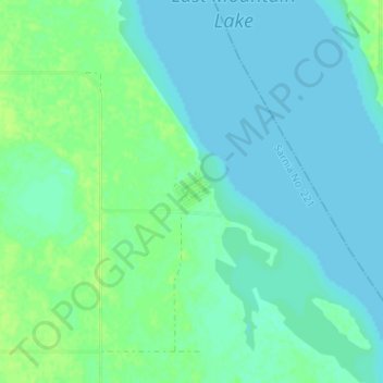
Name: Sarnia Beach topographic map, elevation, terrain.

Location: Sarnia Beach, Sarnia No. 221, Saskatchewan, Canada (50.97599 -105.24522 51.01599 -105.20522)

Average elevation: 1,611 ft

Minimum elevation: 1,598 ft

Maximum elevation: 1,634 ft

Gear up for your next adventure:

🦟Ultrasonic Repellers - Create a bug-free zone at your camp or rest stop
🌧️Backpack Rain Cover - Keep gear dry in wet weather
🧭Pro Hiking Compasses - High-accuracy liquid-filled compasses for topographic orientation
📷Action Cameras - Rugged cameras to document your journeys across rugged terrain
🧦Merino Wool Socks - Moisture-wicking, blister-preventing socks for long treks

As an Amazon Associate, this site earns from qualifying purchases at no extra cost to you.