
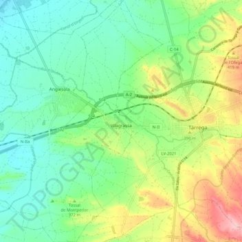
Vilagrassa topographic map
Interactive map
Click on the map to display elevation.
About this map
Name: Vilagrassa topographic map, elevation, terrain.
Location: Vilagrassa, Urgel, Catalogne, 24330, Espagne (41.61103 1.04282 41.68733 1.12595)
Average elevation: 1,161 ft
Minimum elevation: 978 ft
Maximum elevation: 1,529 ft
Other topographic maps
Click on a map to view its topography, its elevation and its terrain.