
特拉木坎力峰 Ⅲ topographic map
Interactive map
Click on the map to display elevation.
About this map
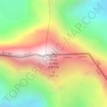
Name: 特拉木坎力峰 Ⅲ topographic map, elevation, terrain.
Location: 特拉木坎力峰 Ⅲ, 叶城县, 喀什地区, 新疆维吾尔自治区, 中国 (35.60024 77.05105 35.60034 77.05115)
Average elevation: 21,106 ft
Minimum elevation: 18,681 ft
Maximum elevation: 23,881 ft
Other topographic maps
Click on a map to view its topography, its elevation and its terrain.